What/Where:
Backpacking trip all the way around BT and SS
Who:
Me (Born2BBrad)
When: 7/19/18 - 7/20/18
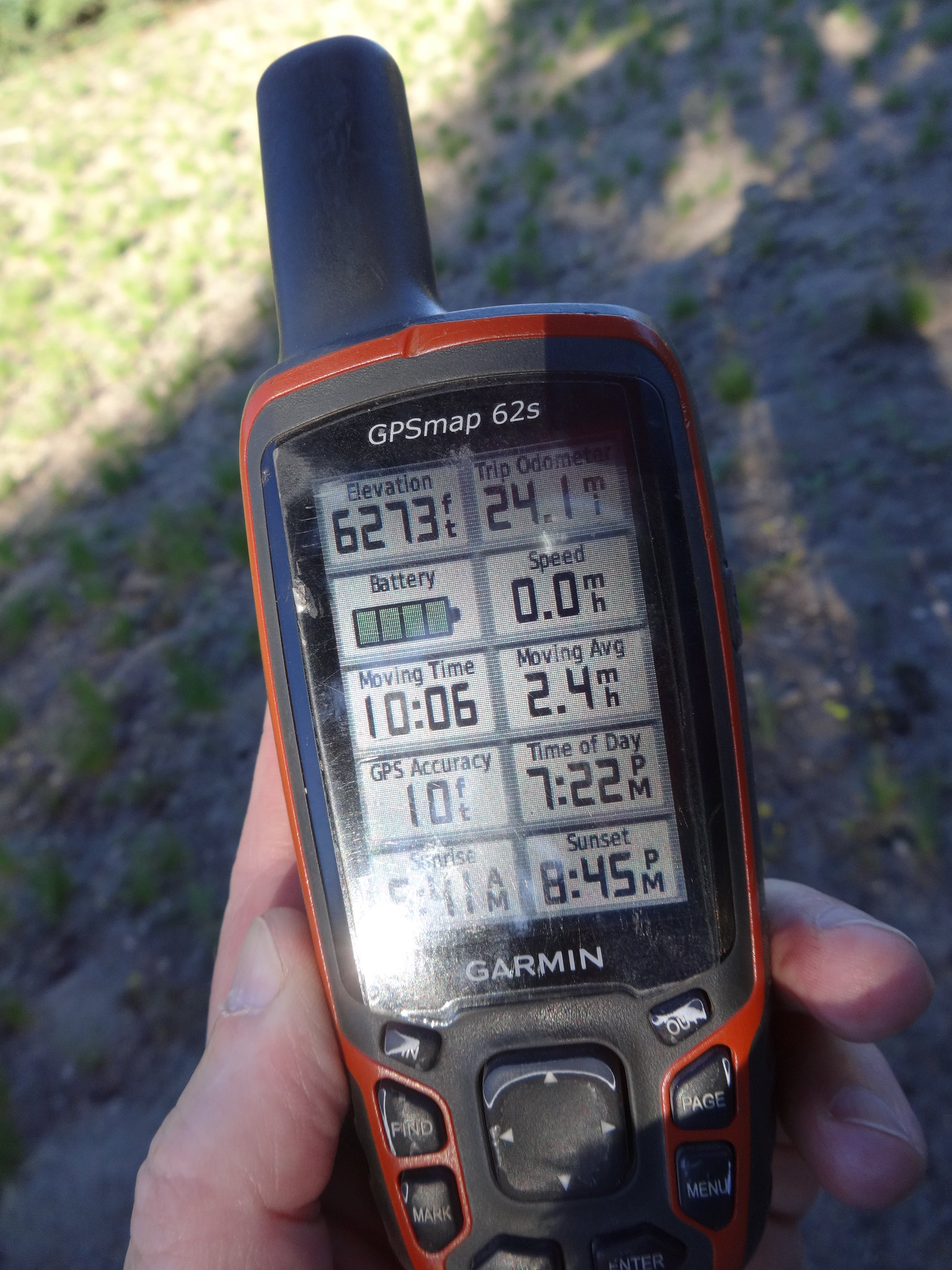
Miles: 40.42 (cleaned up tracks in GPS Fly)
EG: 8,210’ (cleaned up tracks in GPS Fly)
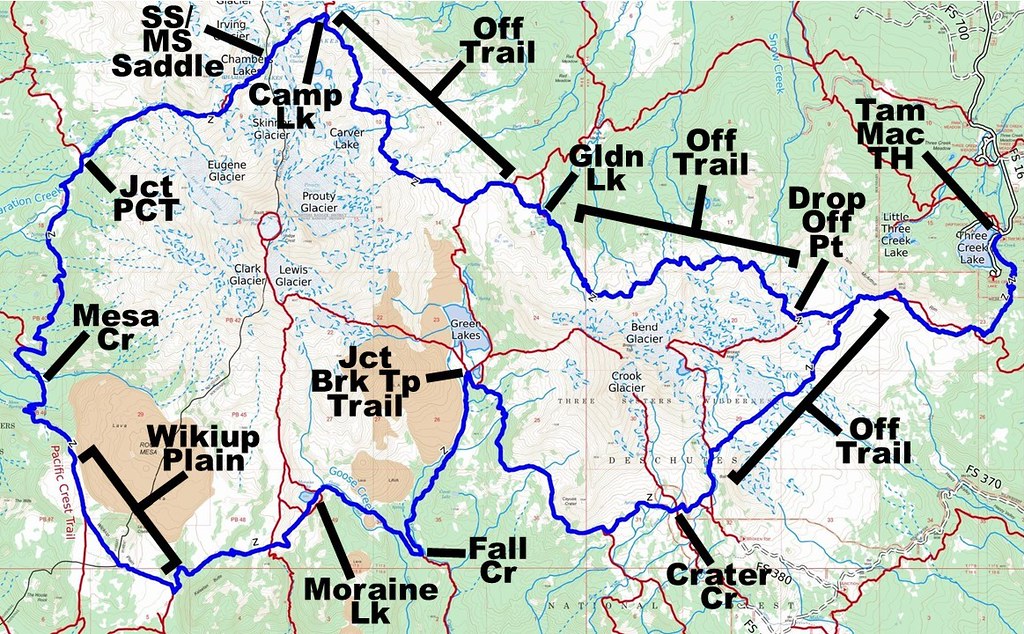
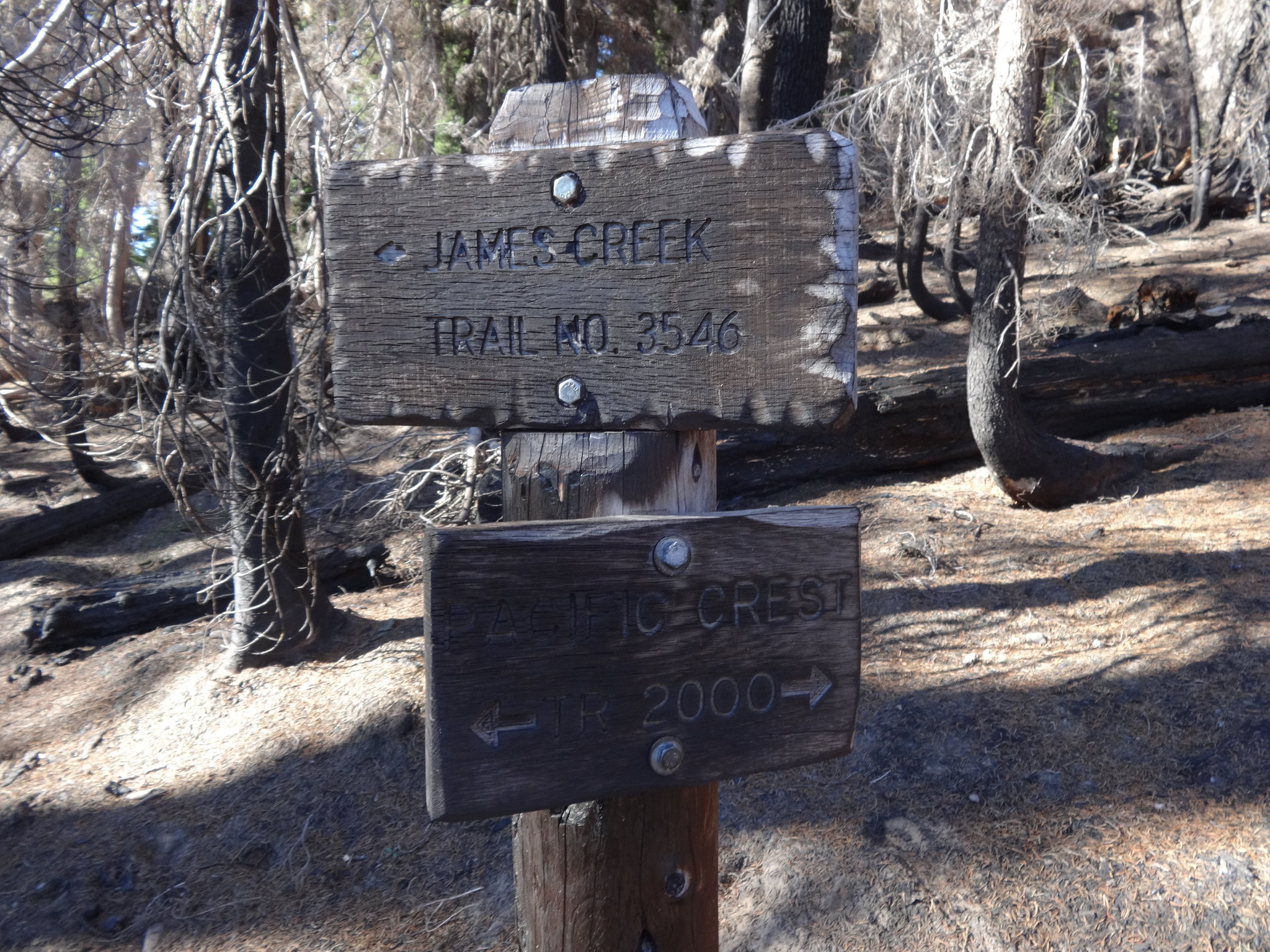
Route Day 1: Tam MaArthur TH, off-trail north side of BT to Golden Lake, Park Meadow trail to Green Lakes Trail saddle, off-trail NE side of SS to Camp Lake, SS/MS Saddle via Chamber Lakes, Separation Creek to PCT, PCT south to Le Conte Crater trail
Route Day 2: Moraine Lake Trail, Green Lakes Trail to Green Lakes Basin, BT Trail past Crater Creek to No-Name Lake Creek, off-trail north of Ball Butte to Tam Mcarthur Rim to TH
Route Day 2: Moraine Lake Trail, Green Lakes Trail to Green Lakes Basin, BT Trail past Crater Creek to No-Name Lake Creek, off-trail north of Ball Butte to Tam Mcarthur Rim to TH
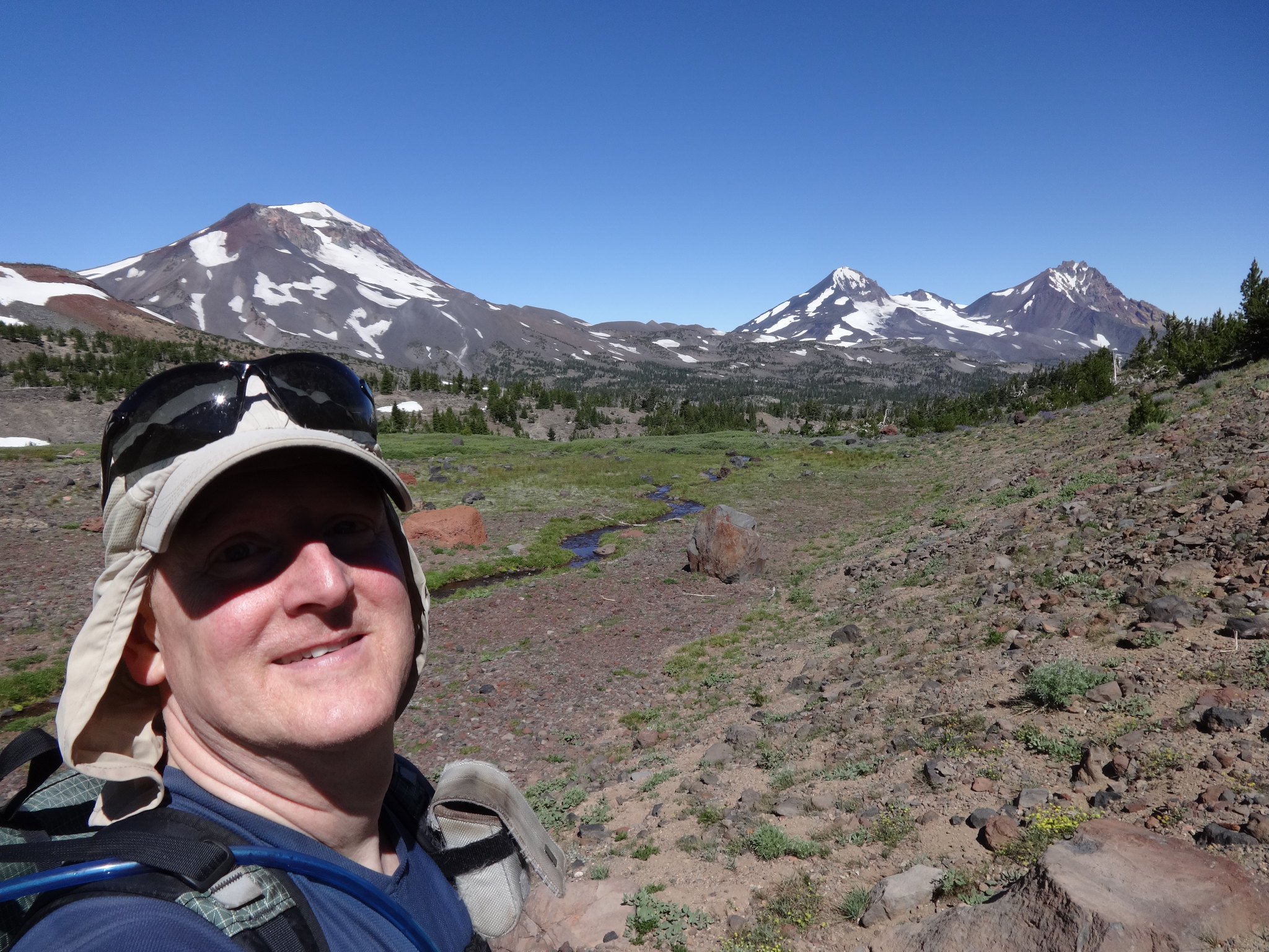
Opening picture: Headwaters of Whychus Creek:
-------------------------------------------------
Map
and Profile
Topographical
overview:
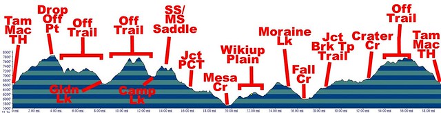
Elevation profile:
Google Earth video of route 6min 45sec:
--------------------------------------------------
Elevation profile:
Google Earth video of route 6min 45sec:
--------------------------------------------------
This TR is being posted as a blog, rather than on the Oregon Hikers website, so as to not encourage people to attempt the off-trail sections of the route. First, I don't want to publicly give away some secret locations to the masses. Second, I don't want some unprepared flip-flopper to sue me if they tried it and hurt themselves.
Do you ever look at maps, cruise around on Google Earth or spy an interesting route while hiking and think, "Is is possible? Can I get from here to there?" Getting off the beaten path away from the crowds is almost an obsession with me.
The BT 360 trip with Dawn and the Three Sisters Figure 8 trip with Van Marmot got me thinking about the possibility of dropping of the north side of Tam McArthur Rim and going off-trail over to Golden Lake. Internet research was lacking, but there were some second-hand reports of it being done.
Using Google Earth, a hand-drawn route was created for what looked to be the best off-trail route from Tam McArthur Rim to Golden Lake. That Google Earth route was converted from a KMZ file to a GPX file, then spliced together with other GPX files to create a single master route. That master route was downloaded to my handheld GPS unit.
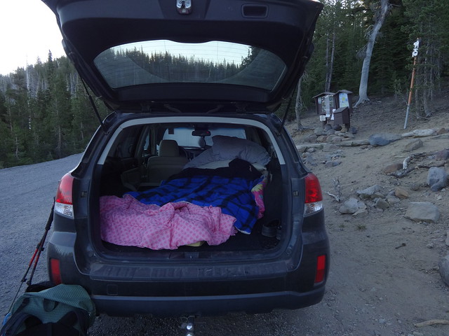
With that route planned, a wife pass was secured and time off approved. The stars were aligned. As has been done many times, I drove to the trailhead (TH) the night before, so as to maximize daylight trail time. The actual TH was too noisy, with all the yelling and screaming at nearby Three Creeks Campground, so I drove a few minutes away and found a nice quiet spot to spend the night. Sleeping near the TH allowed for me to be on the trail before 6:30 AM.
Hotel Subaru is better than any five-star hotel:
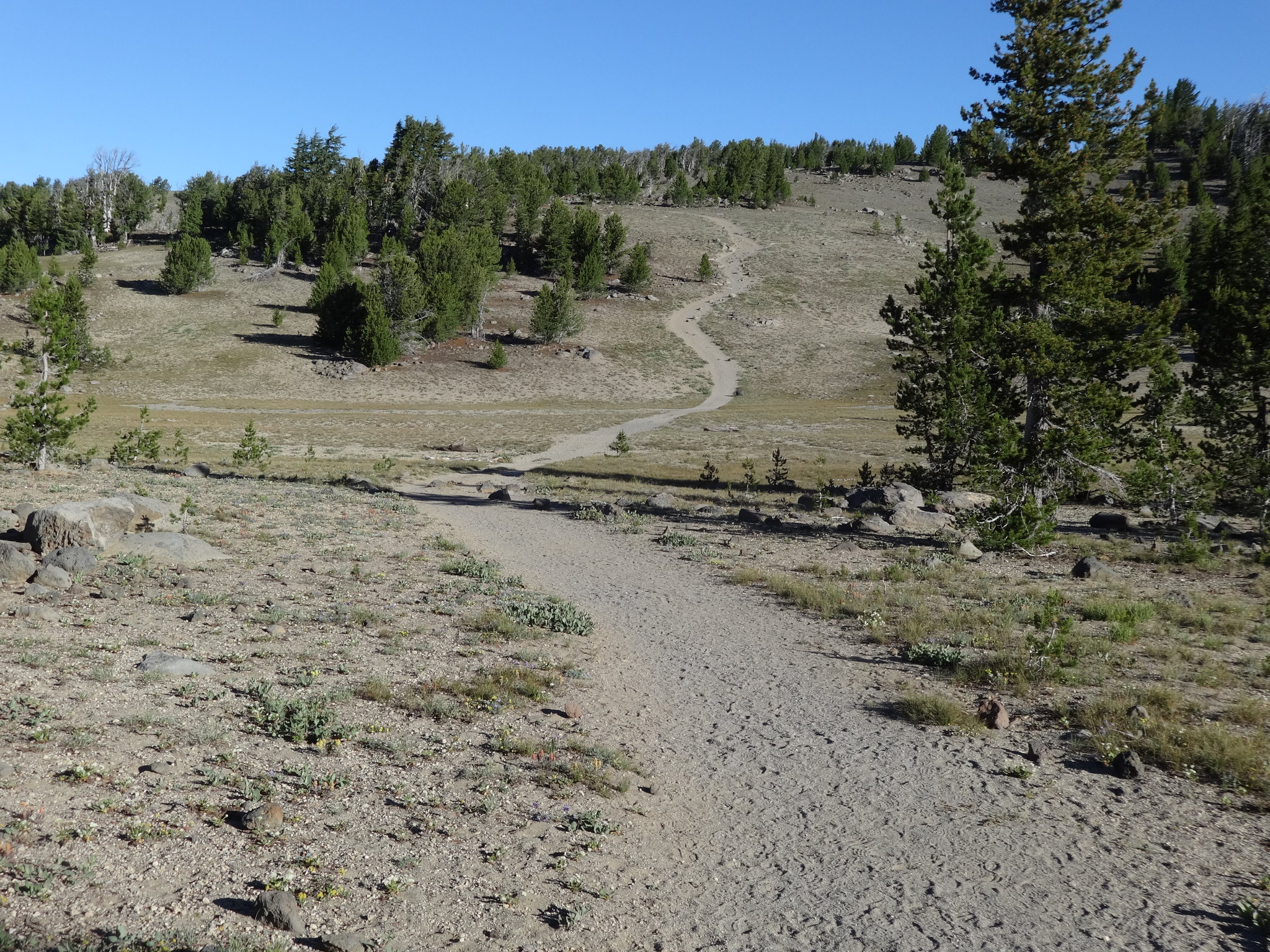
The Tam McArthur Trail is wide and well-used. No one else was on the trail that early in the morning on a Thursday. The trail goes through some trees before opening up to alpine views.
Wide and open Tam MacArthur Trail:
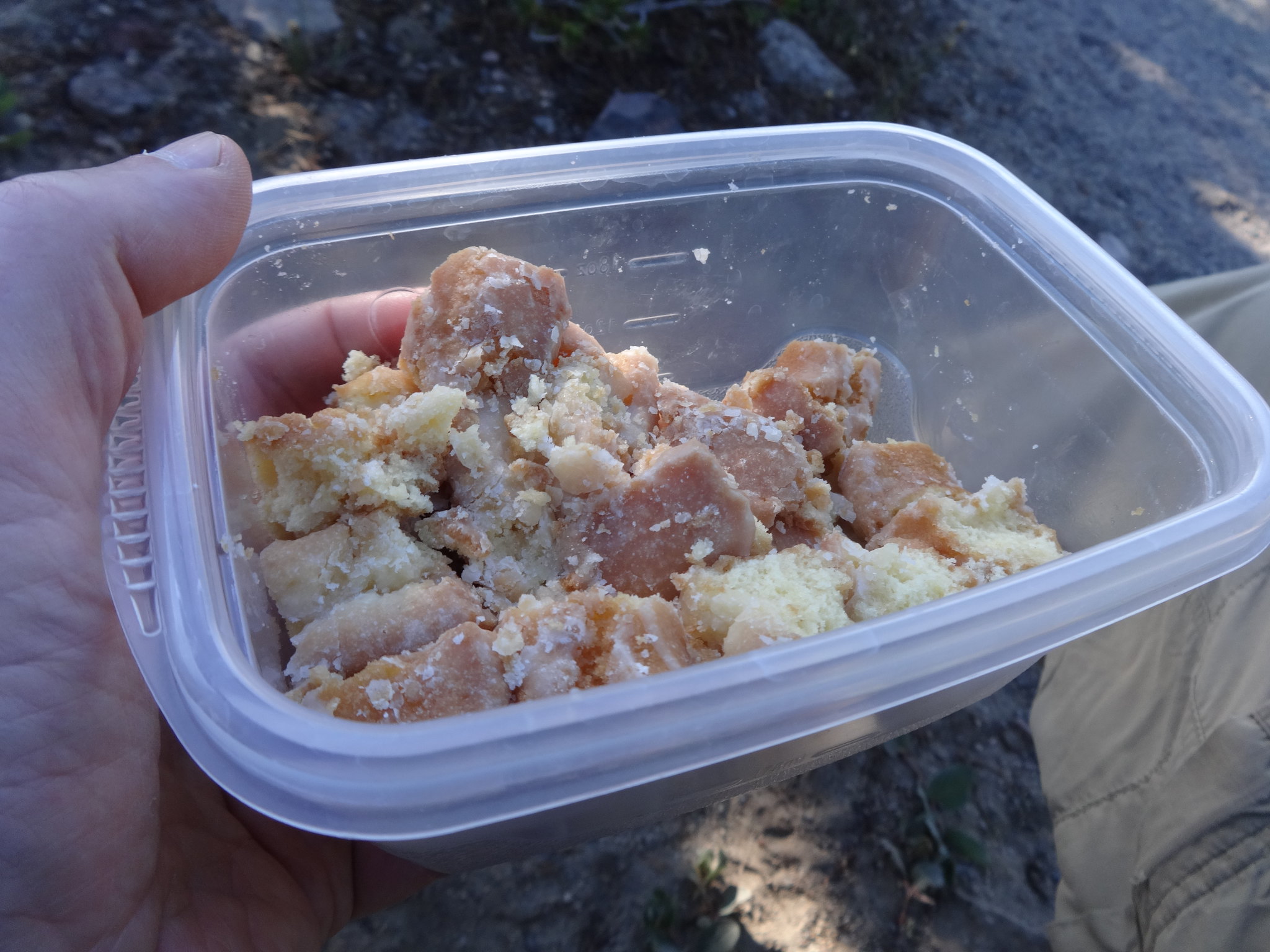
Stopping on the way for the breakfast of champions:
Obligatory view of Three Creeks Lake:

At about 7900' I dropped off the rim and went off-trail on the north side of BT Top. The hand-drawn GPX tracks were spot-on. There was evidence of trails, but sometimes they led me astray. Present Brad at that time thanked past Brad for creating such an awesome route to follow.
Here is where I dropped of the rim and went off-trail:
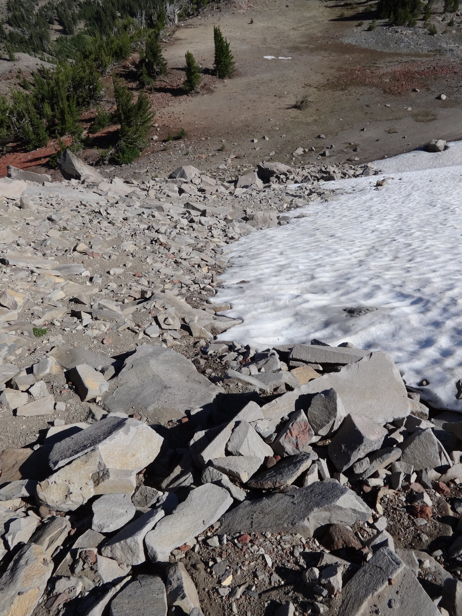
The only difficult part of the off-trail on the north side of BT was a short section near the start with some rocks and boulders to climb down. In hindsight, it would have been easier to put on the micro-spikes and walk down the snow field immediately to the right.
Short boulder section near the start:
After that section is was pretty much open alpine terrain, with a few easy creek crossings thrown in. The off-trail section north of BT was my favorite part of the trip. Great views and no people.
Where's the trail? It's wherever you want it to be:
Snow Creek:
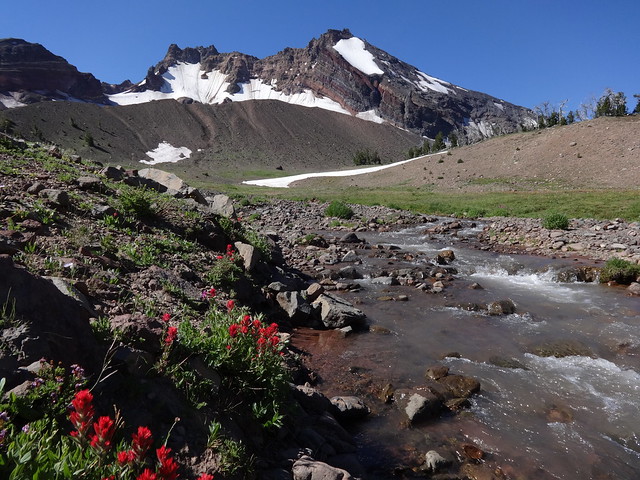
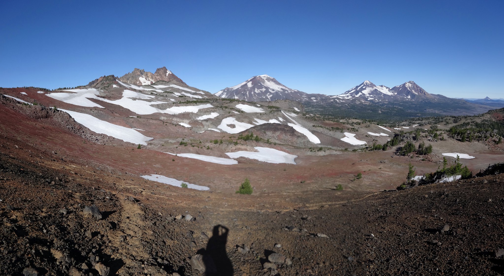
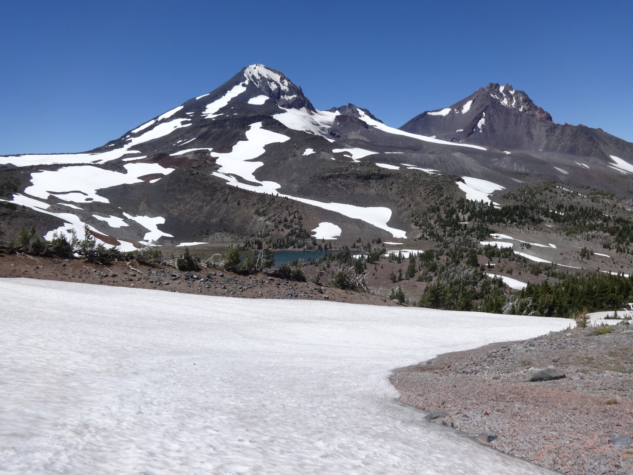
Headwaters of Whychus Creek:
Near the headwaters of east fork of East Fork Park Creek:
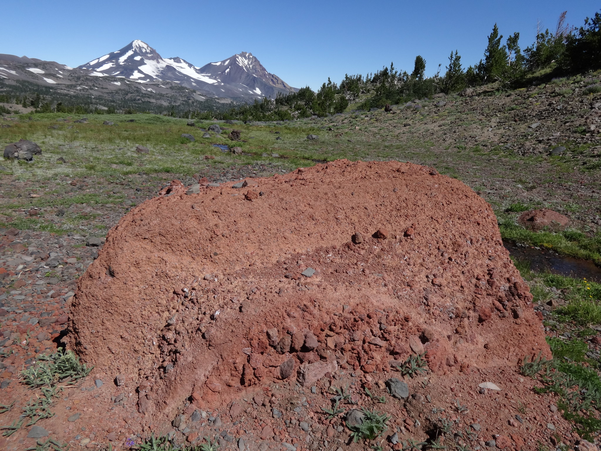
Cool lava bomb:
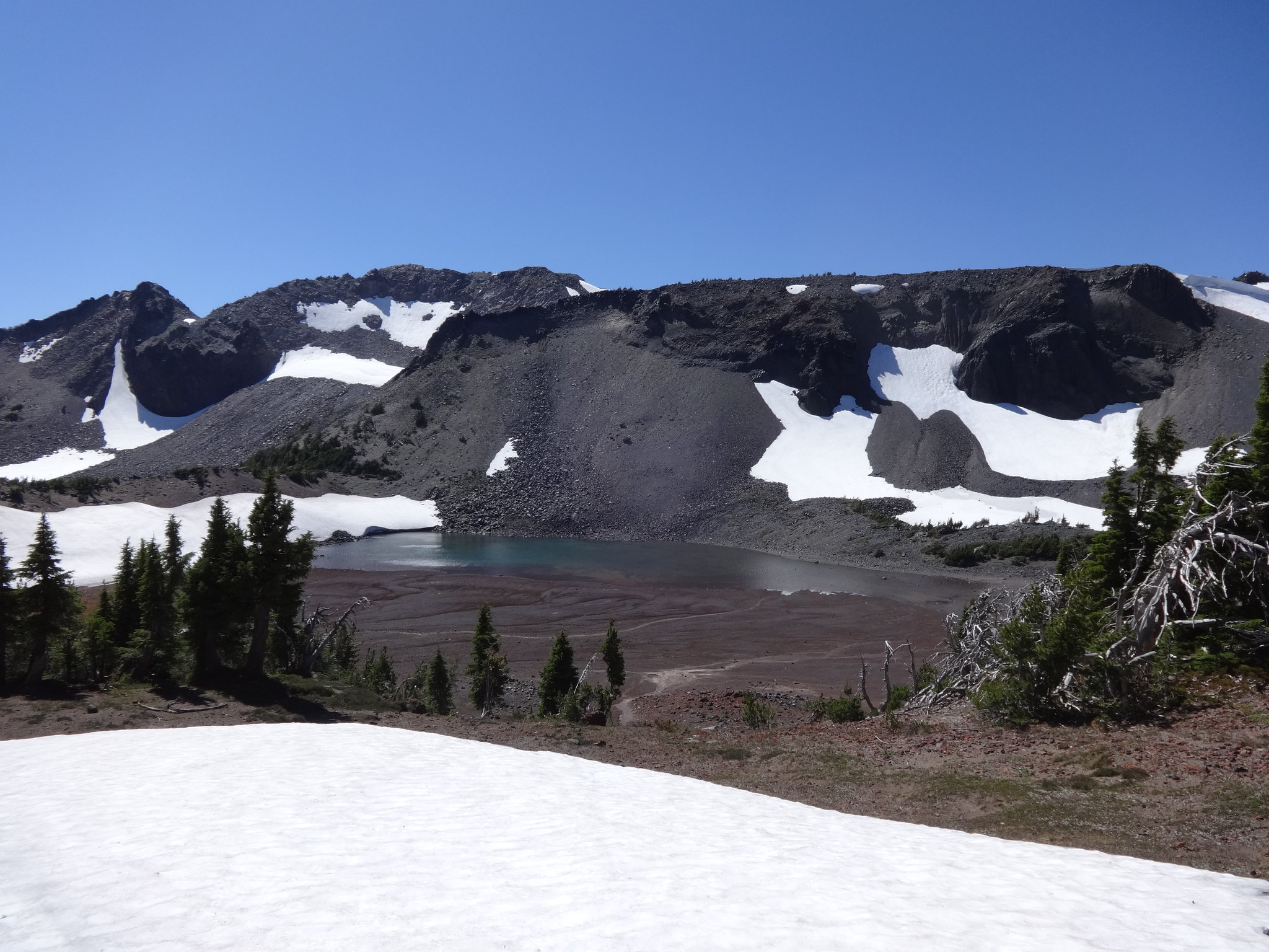
Eventually, my route took me to the two unnamed tarns above Golden Lake. While still off the beaten path, there is a well-used user trail to the tarns from Golden Lake. Years ago when I first took this trail, it was much harder to follow. The creek that flows from the tarns is the source of the west fork of East Fork Park Creek.
Tarn above Golden Lake:
The west fork of East Fork Park Creek:
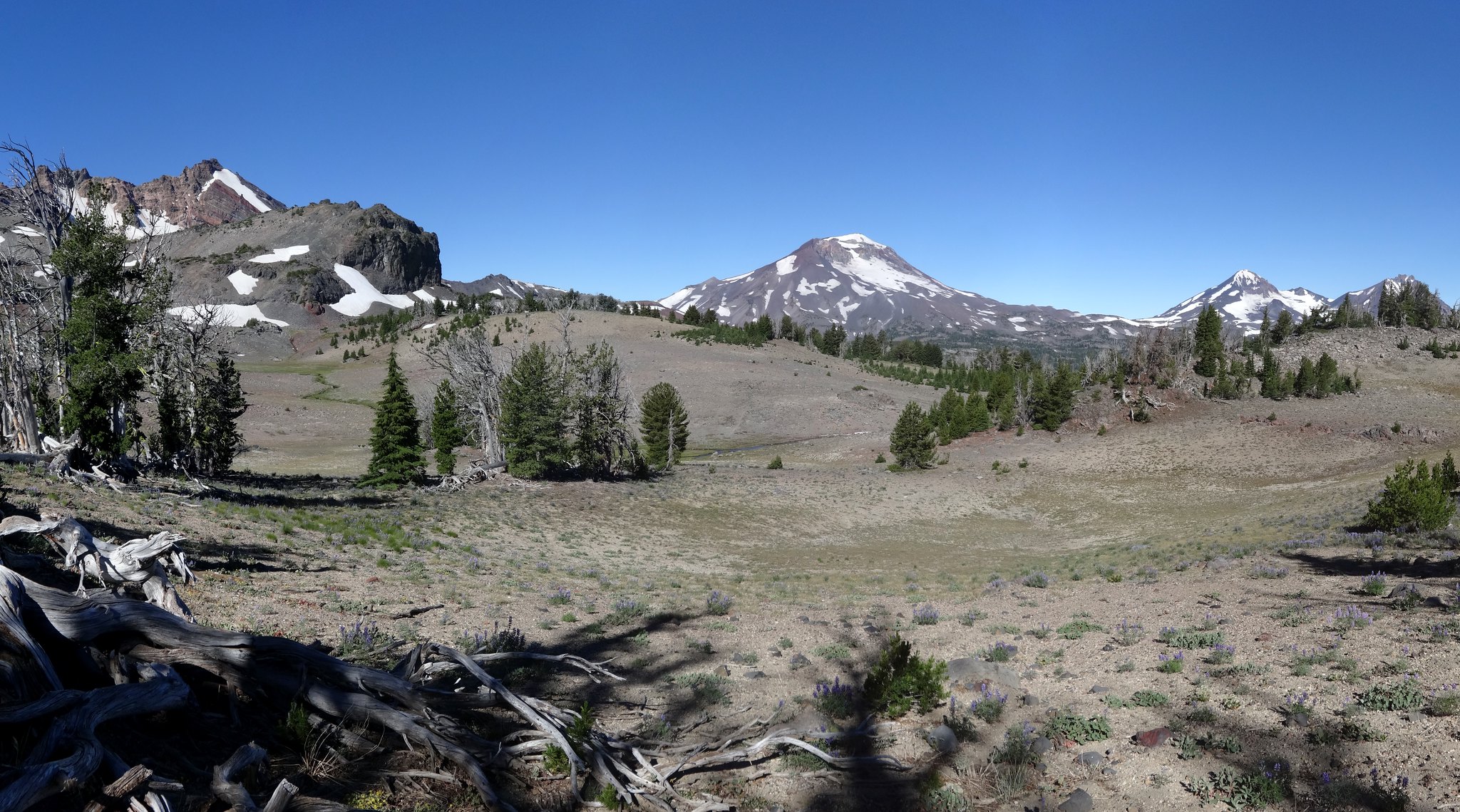
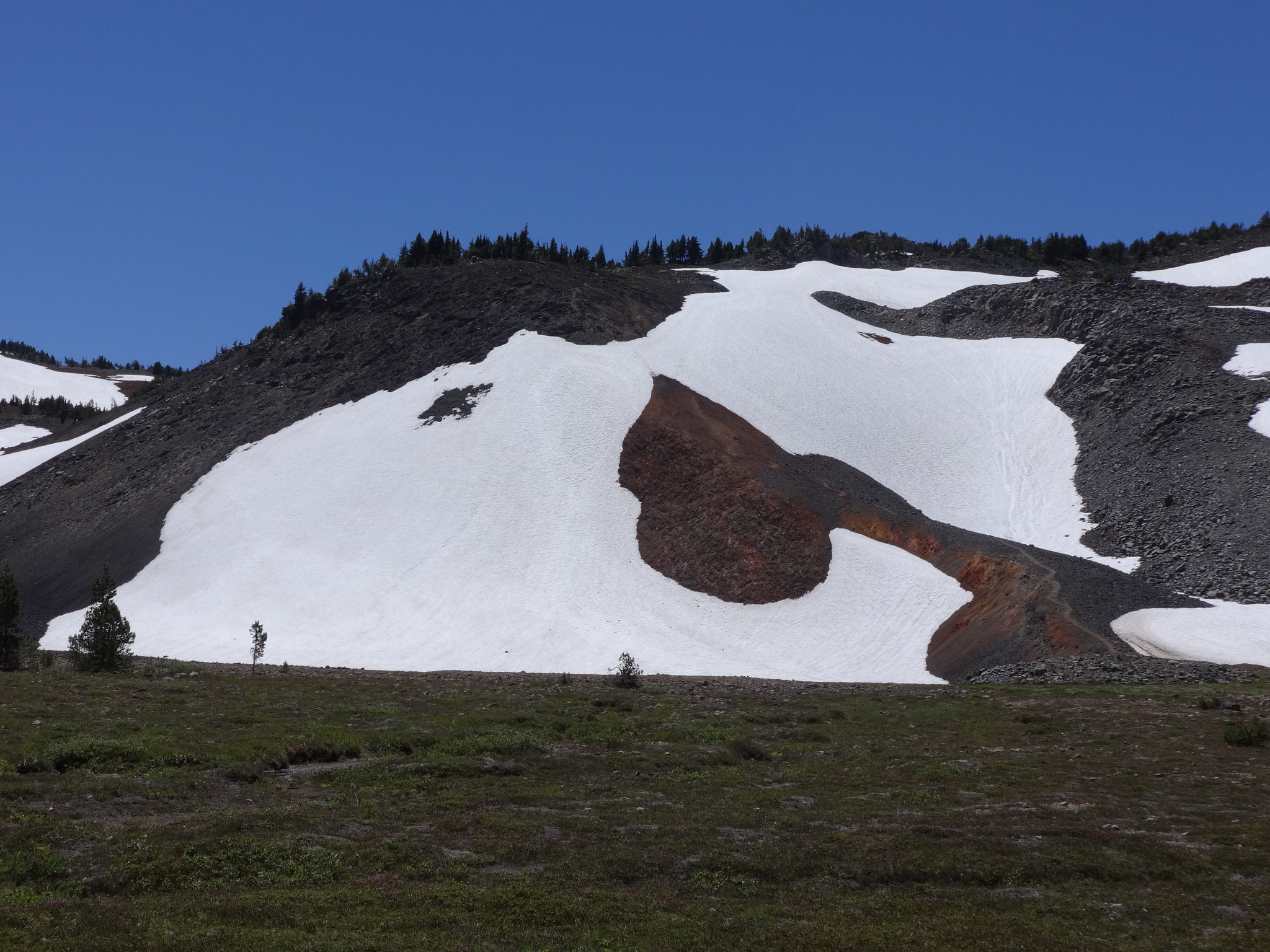
After making it to Golden Lake and over to the Green Lakes Trail, it was a 250' climb to the saddle above Green Lakes. Then it was off-trail again on the NE side of SS over to Camp Lake. This is a route done by myself and Van Marmot. While I stayed close to the tracks from that trip, I deviated over some snow fields. Sometimes it's easier to walk on compacted snow, rather than rocks or loose soil.
Looking back at a traversed snow field:

One final snow field to cross before Camp Lake:
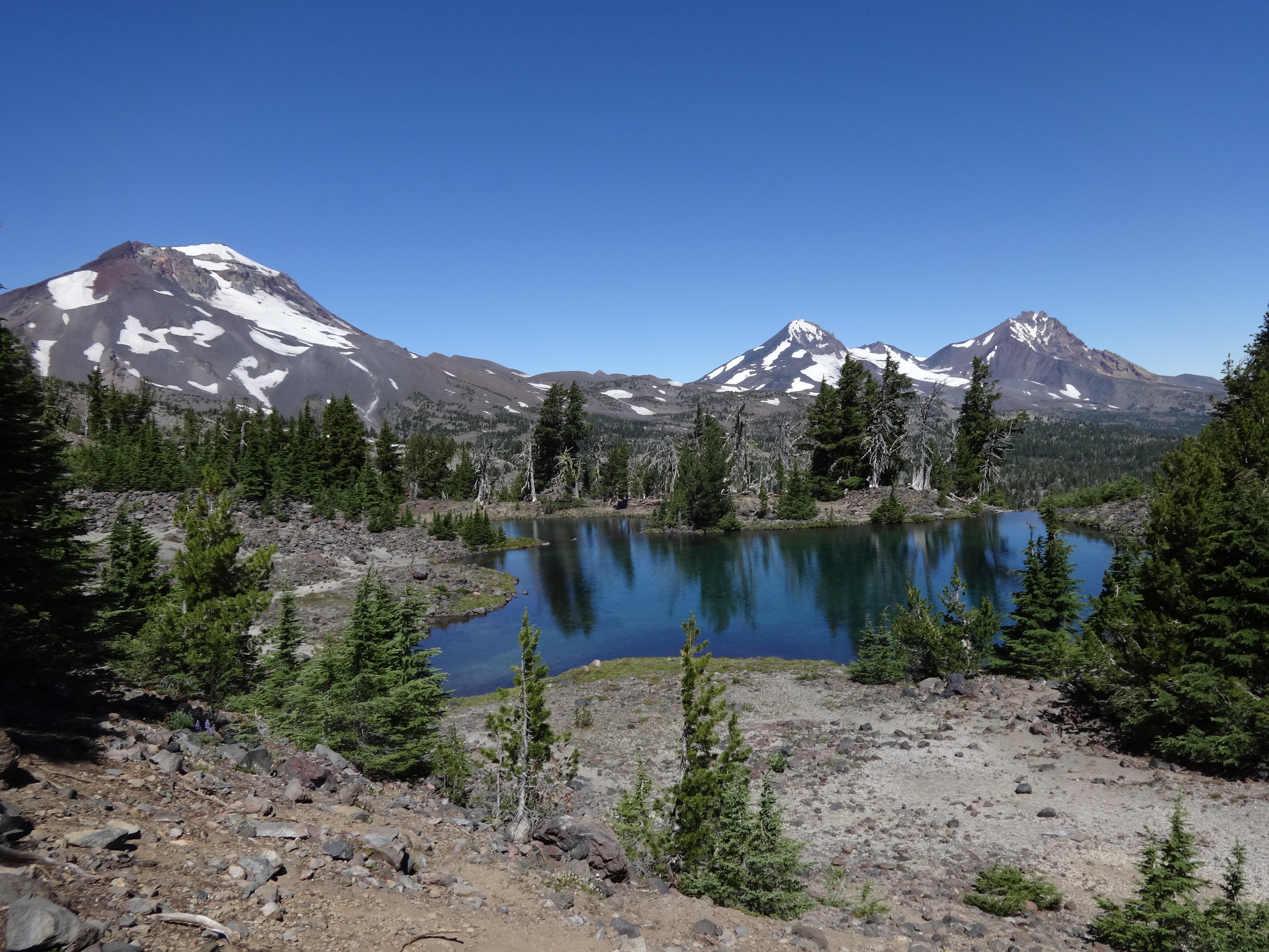
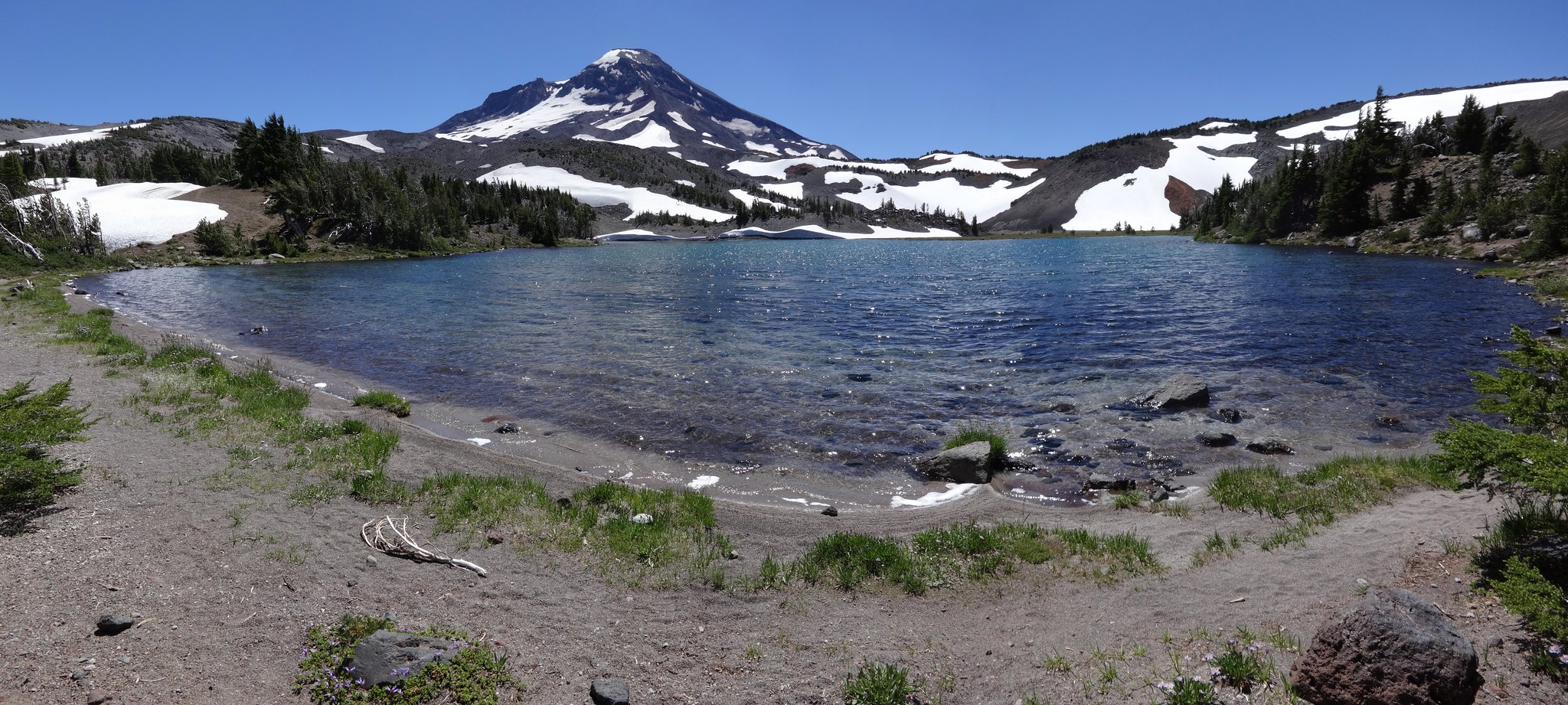
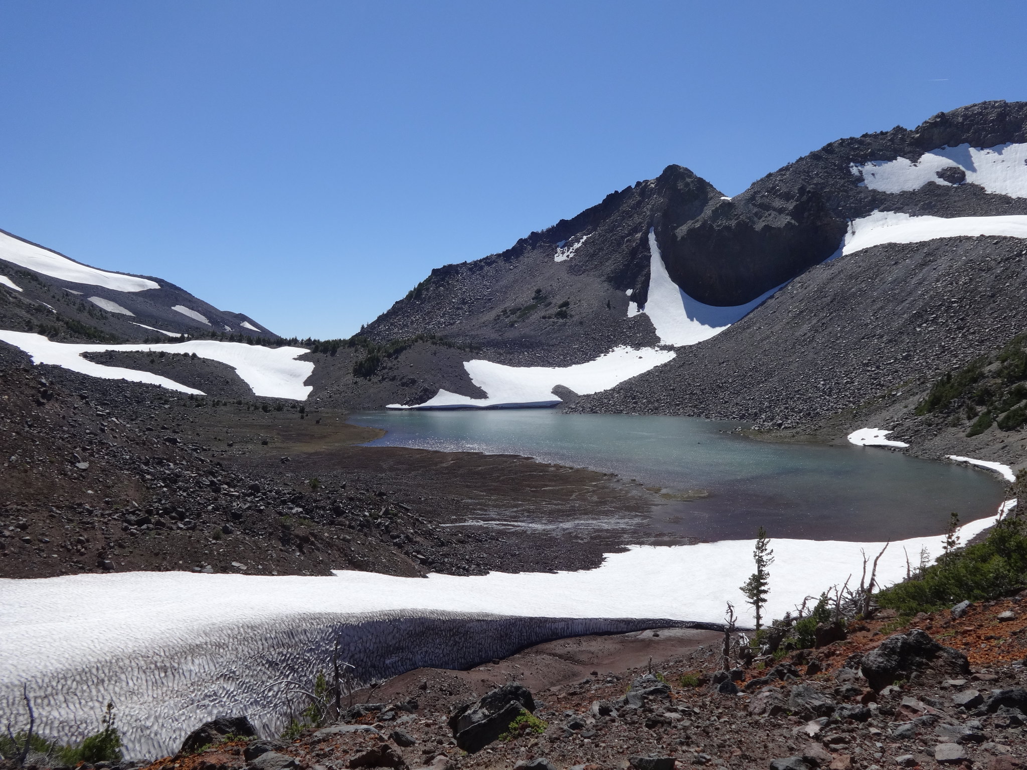
Camp Lake is beautiful:
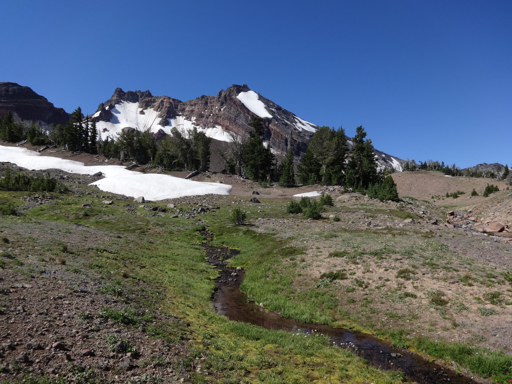
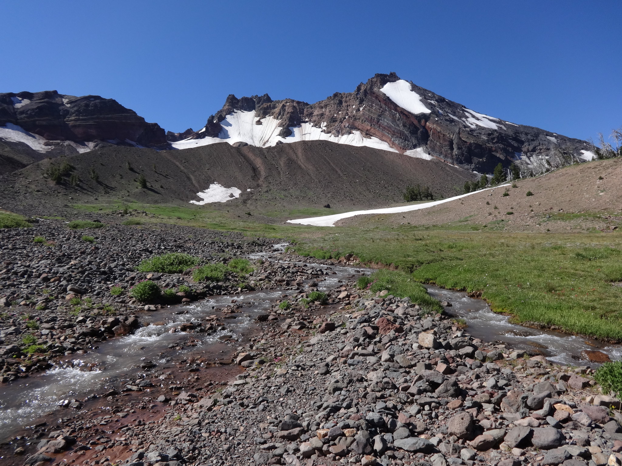
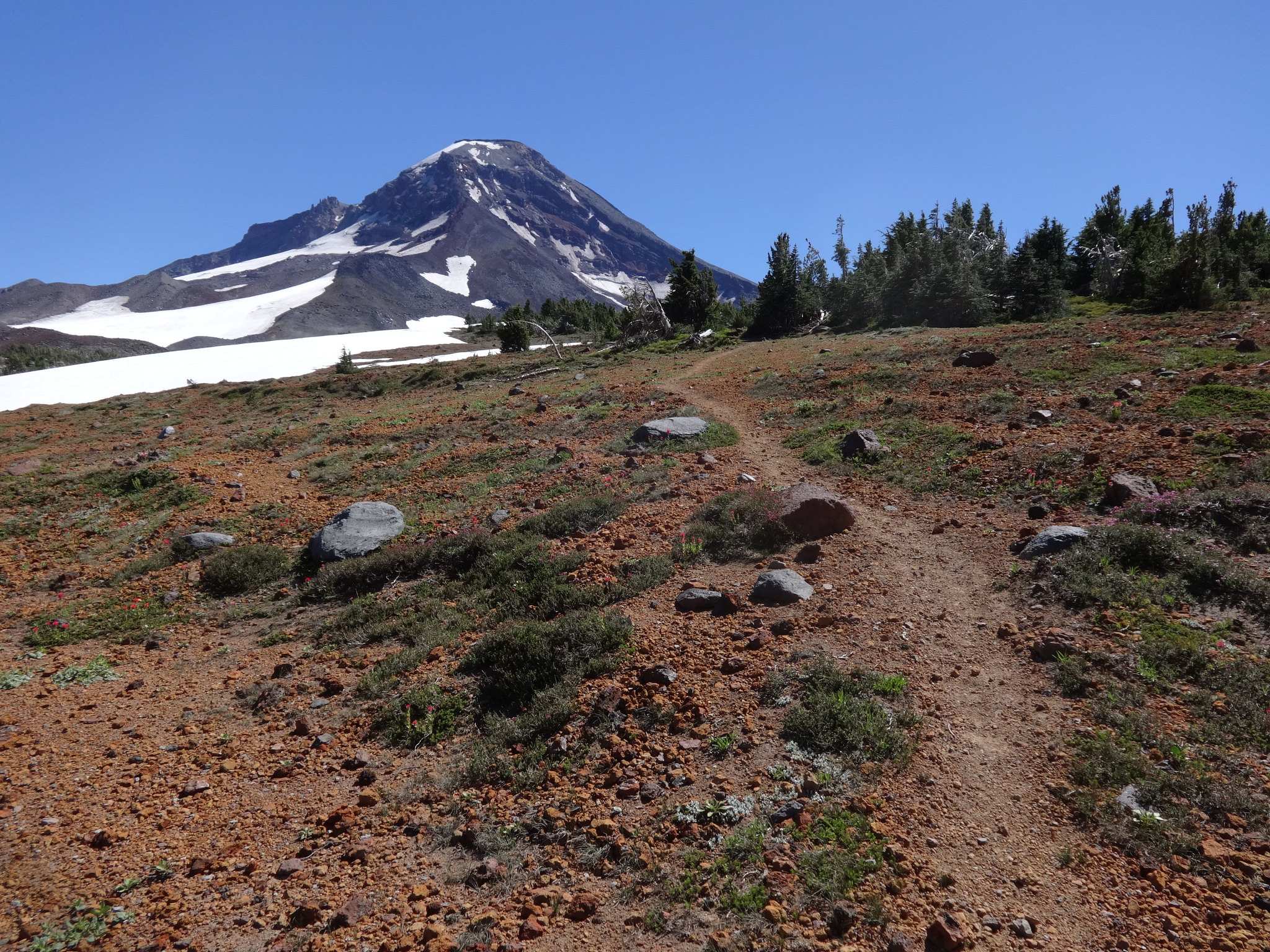
From Camp Lake there is a trail up and over the saddle between South and Middle Sister, down Separation Creek to the PCT.
The beginning of the climb up to the saddle:
View from the saddle:
One of the Chamber Lakes in the saddle:
The other Chamber Lake in the saddle:
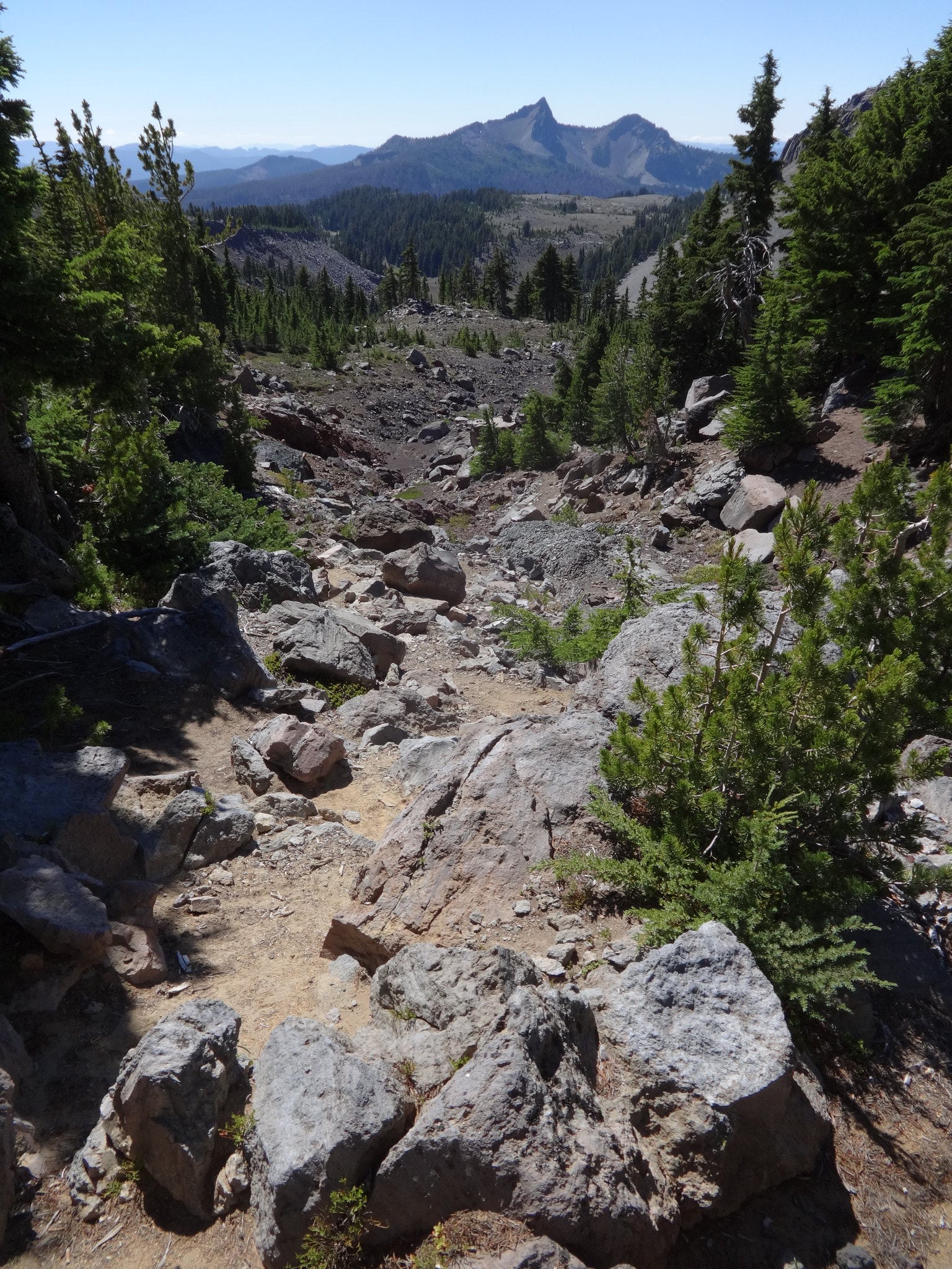
The trail down Separation Creek can be rugged:
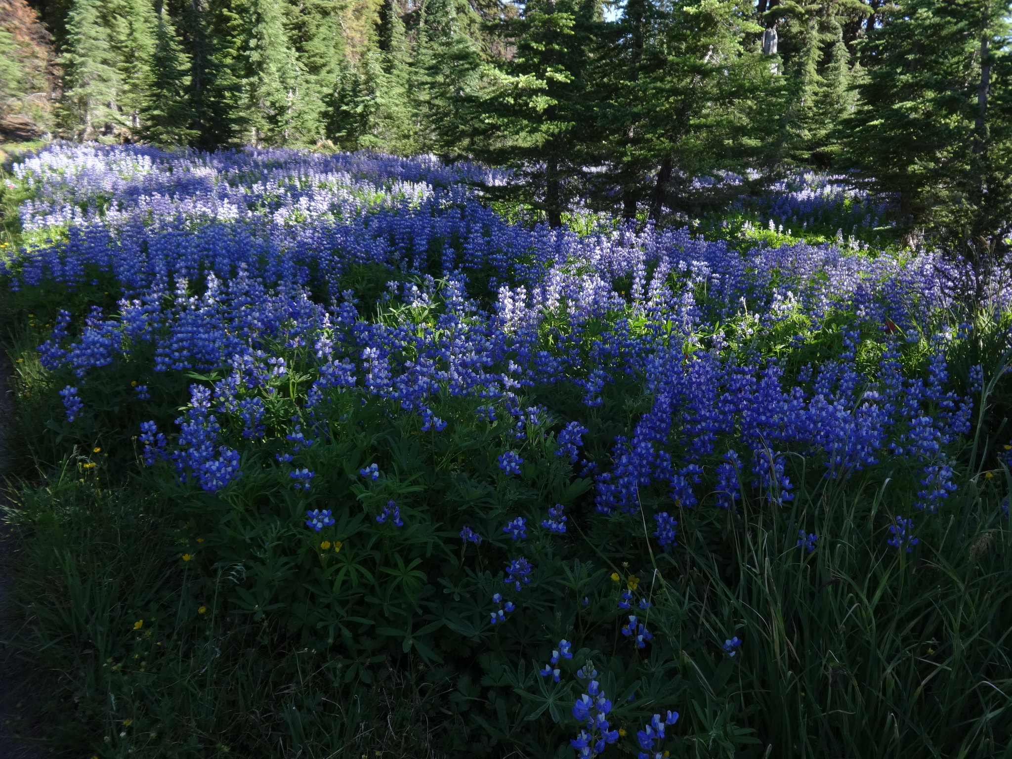
Lots of lupine along the PCT:
While I was aware of wildfires in the Three Sisters Wilderness in 2017, the scope is hard to understand until seen. The Separation and Nash fires burned many miles of the PCT, and much more.
Burned area on the PCT:
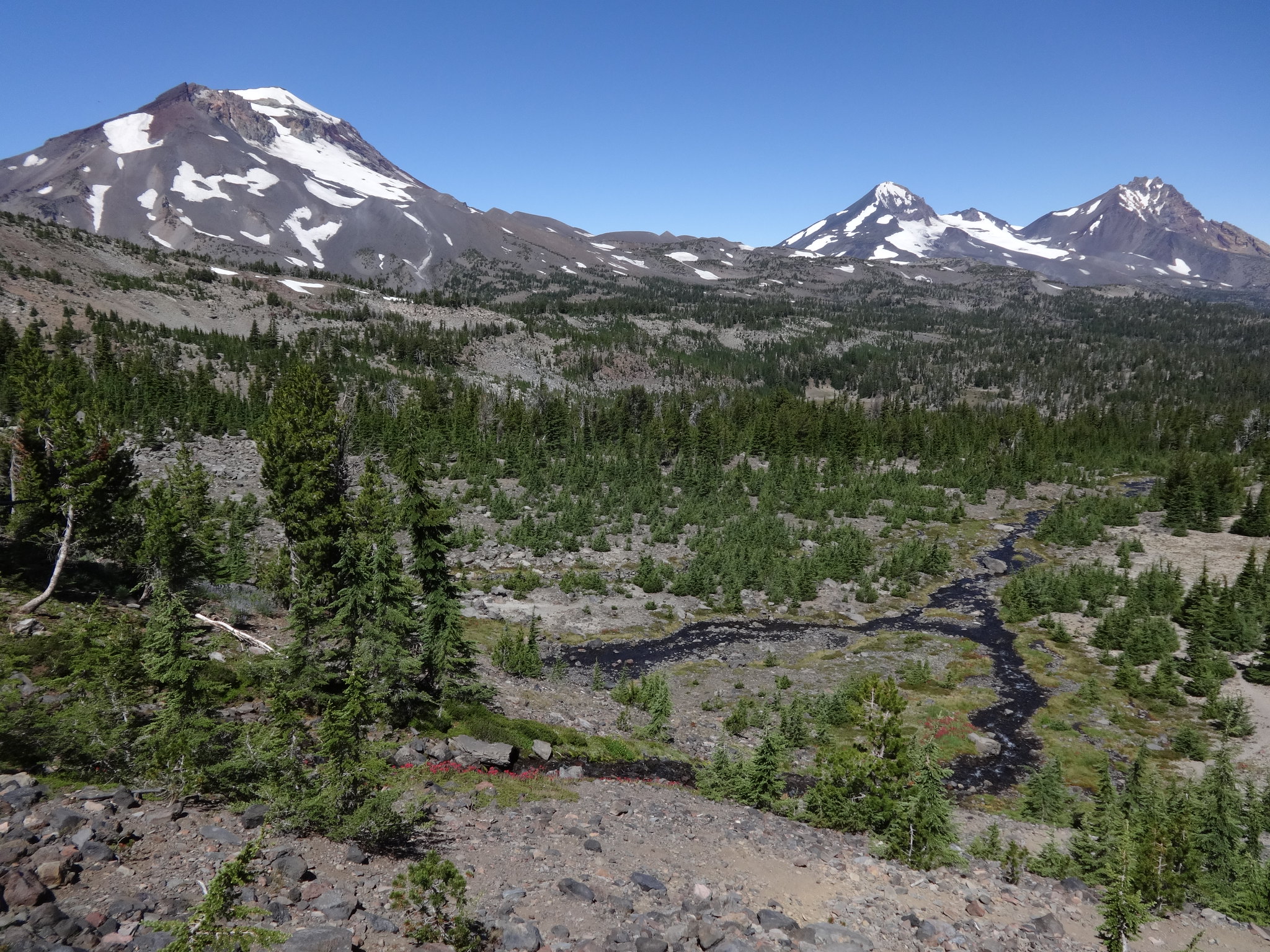
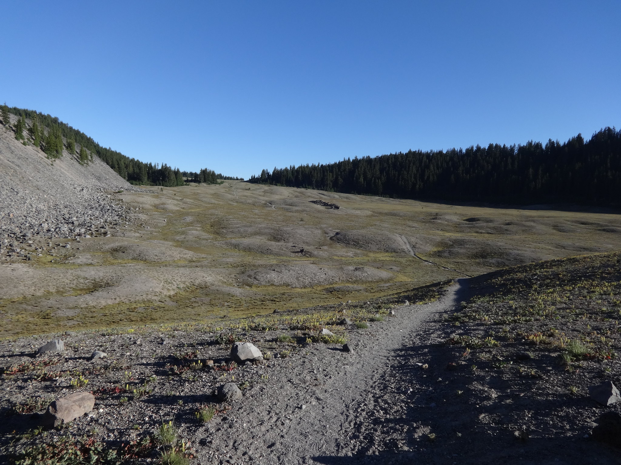
About a half mile before Wickiup Plain is where the burned area ends. Wickiup Plain has some great views, but it is very hot and exposed.
The start of Wickiup Plain:
Is was getting late so it was time to set up camp. Any spot would do, as I had already washed up and filled up on water.
Stopping time: